

Guide to Japan's sacred mountain, Mt. Oiwa
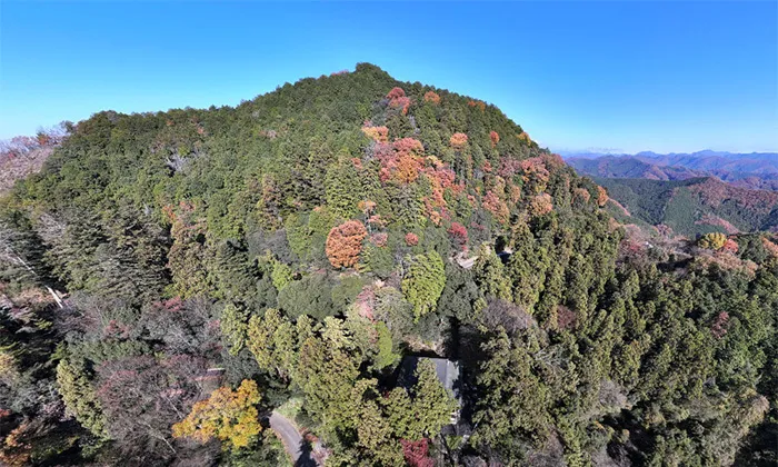
Topography of Mt. Oiwa
Mountain worship at Mt. Oiwa and Oiwasan Bishamonten
As its name suggests, Mt. Oiwa has many huge and strangely shaped rocks within the mountain. This steep mountain became the object of mountain worship and is said to have prospered as a major training ground for Shugendo. It is believed that Shugendo monks stayed in the twelve temples that were built in various parts of the mountain to practice their training, and although these temples no longer exist, the figures of Shugendo monks can still be seen on the mountain today.
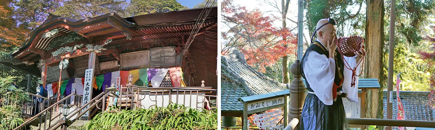
About the temple and shrine on Mt. Oiwa, a sacred mountain in the Kanto region
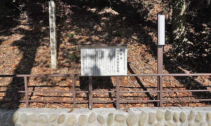
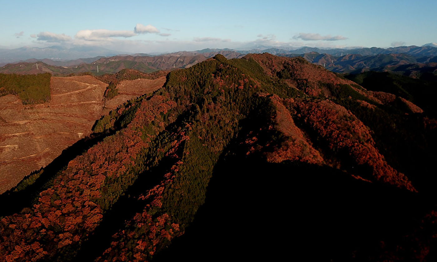
Nature, Trees, Flowers and Plants in Mt. Oiwa
Park Facilities of Mt. Oiwa
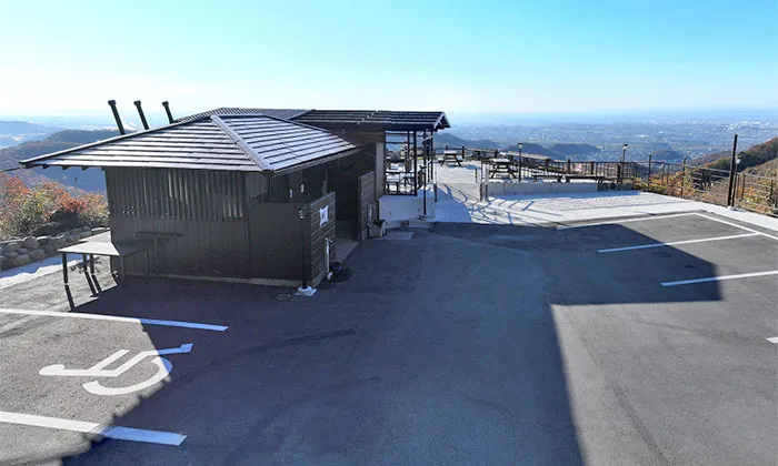
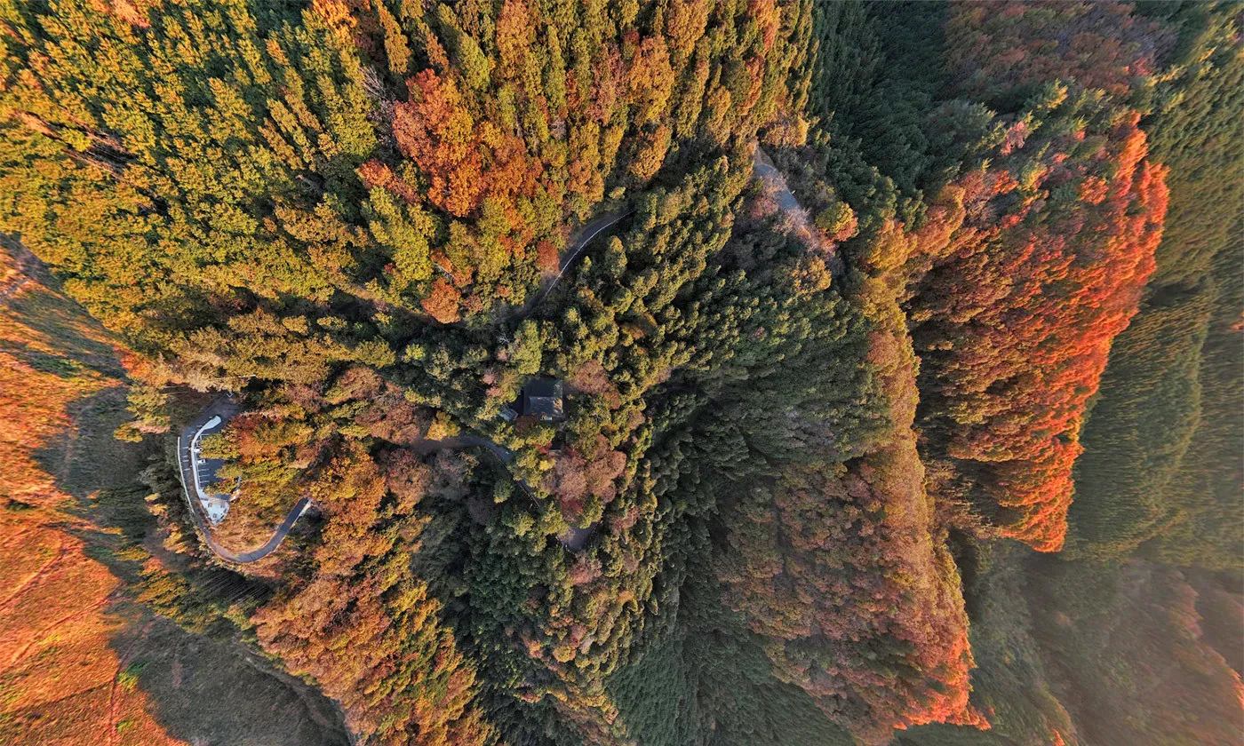
Oiwasan West Park
Oiwasan East Park
Further in from the West Park, you will reach the East Park. There are a few benches, but not much space for parking. The park is a route for hiking trails from Orihimejinja-Shrine and Mt. Ryogai, and there are trailheads to the top of Mt. Oiwa, Mt. Gyodo, and Jochinji-Temple. From East Park, you can see the northern Tochigi Prefecture and the mountains of Tohoku. The sunrise ceremony is also held at East Park.
Recommended view from Mt. Oiwa, a sacred mountain in Kanto
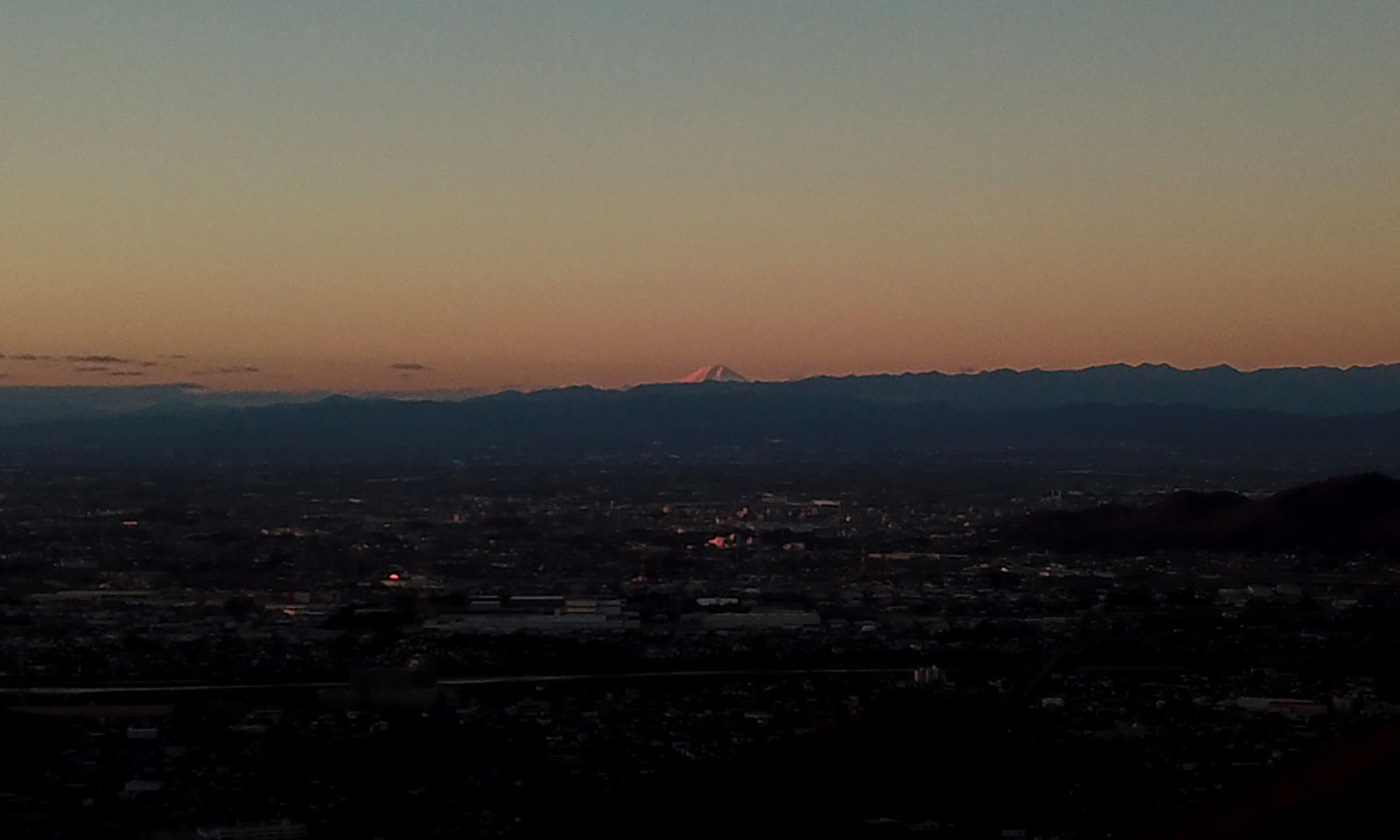
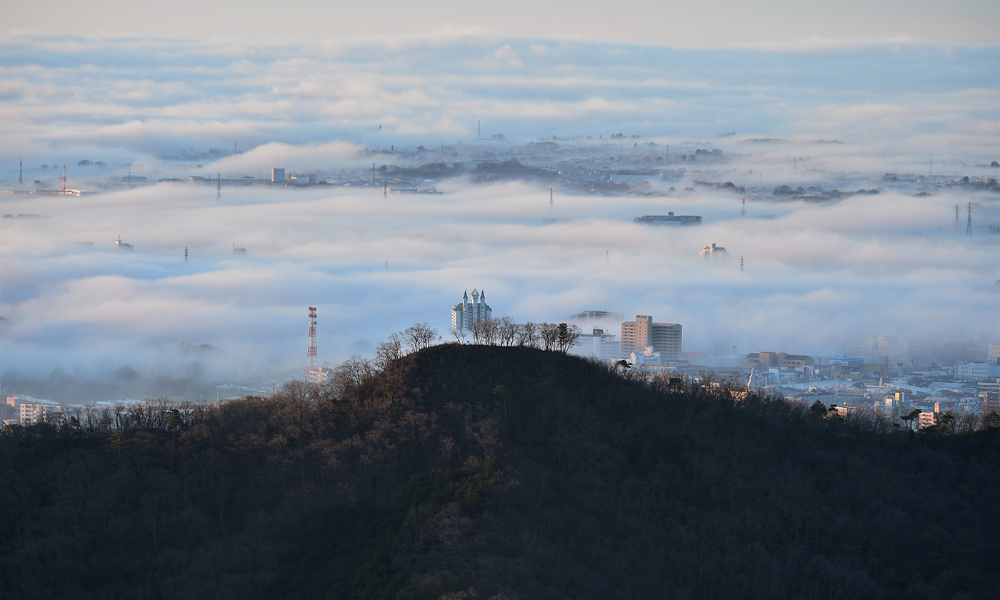
Because Mt. Oiwa is located at the northern boundary of the Kanto Plain, a panoramic view of the Kanto Plain can be seen from the trail and West Park. On clear days, the Tokyo Sky Tree, Sunshine City in Ikebukuro, and other skyscrapers in Tokyo can be seen. In addition, you can see Mt. Tsukuba, the famous peak of the Kanto Plain, to the east, and to the south you can see the Tanzawa Mountains of Kanagawa Prefecture, the Chichibu Mountains that extend to Saitama Prefecture, Tokyo, and other areas, and Mt. Fuji further back.
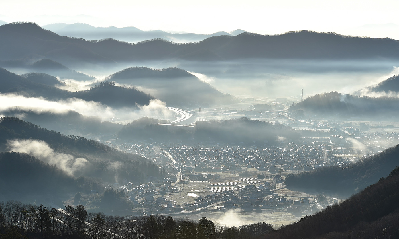
From East Park, you can see the Ashio Mountains and Yamizo Mountains of Tochigi Prefecture, as well as the Nasu Mountain Range that stretches from Tochigi Prefecture to Fukushima Prefecture in the distance.
Night view from Oiwasan West Park
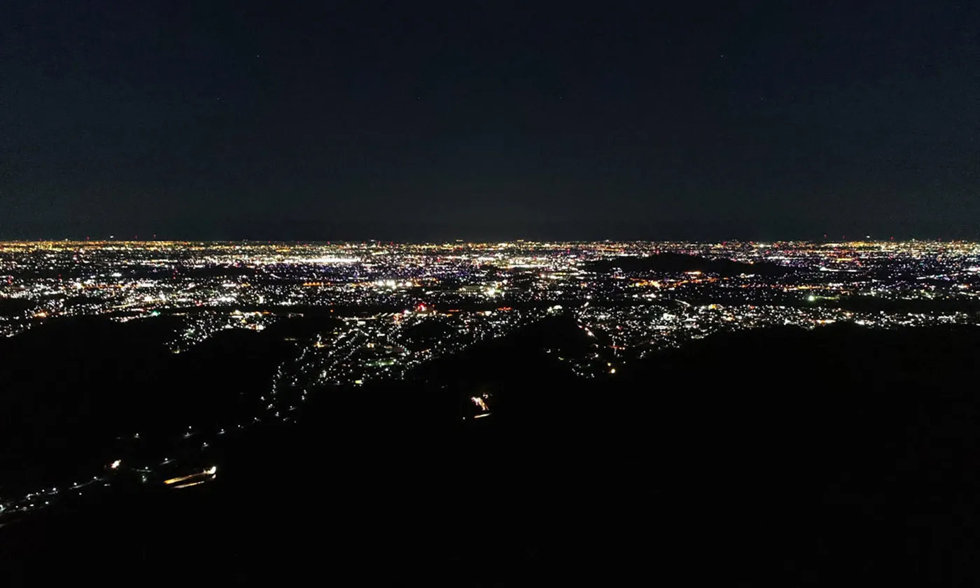
From Oiwasan West Park, you can enjoy the night view of the Kanto region centered on Tokyo, including Ashikaga City.
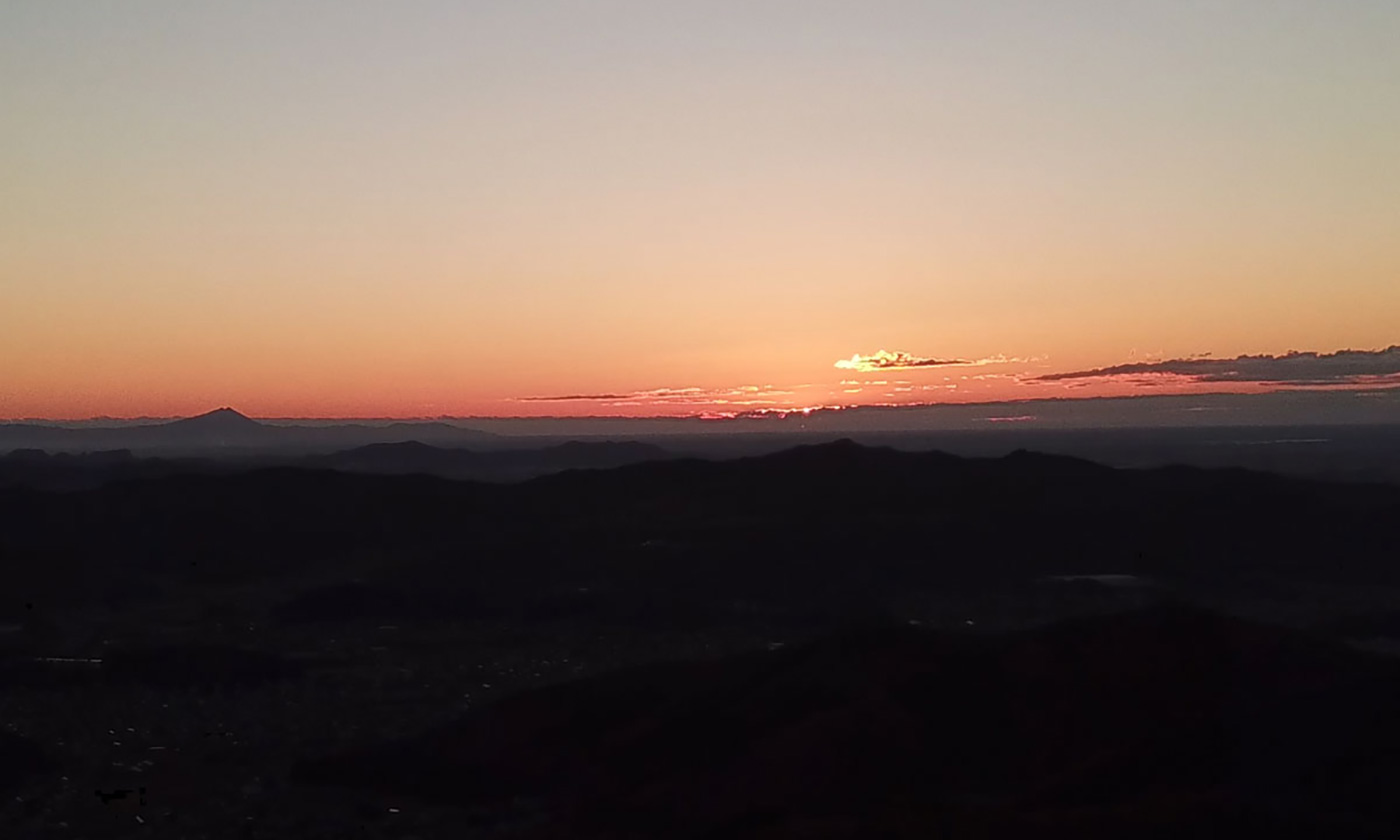
New Year's Day sunrise video from Oiwayama East Park
This is a video of the sunrise on New Year's Day, January 1, 2019 (Hatsuhinode Yohai Ceremony) at Mt. Oiwa in Ashikaga City, Tochigi Prefecture, a sacred mountain in the Kanto region. Oiwasan Bishamonten holds the "Hatsuhinode Yohai Ceremony (New Year's Day Sunrise Worship Ceremony)" around 6:50 a.m. on January 1 every year. You are free to participate.
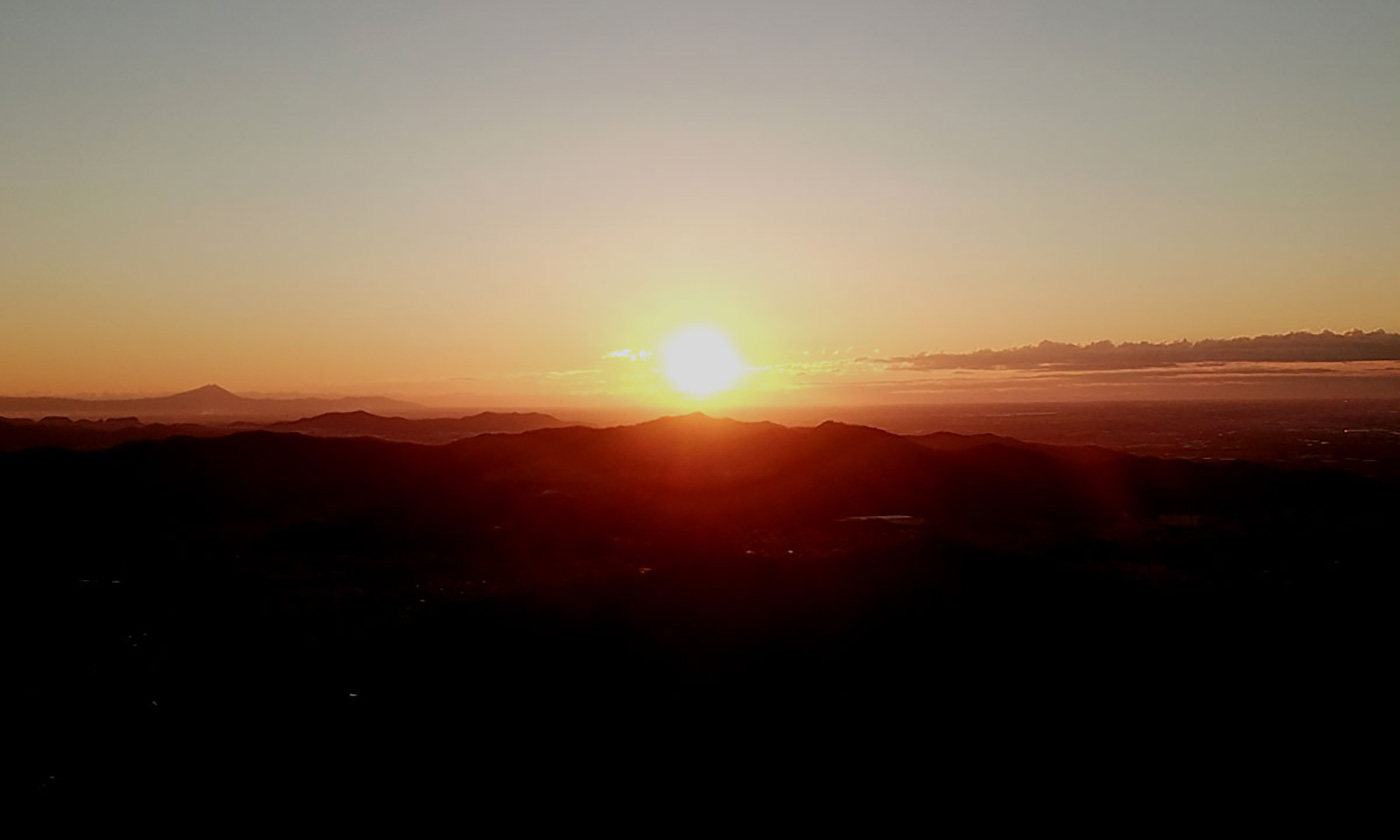
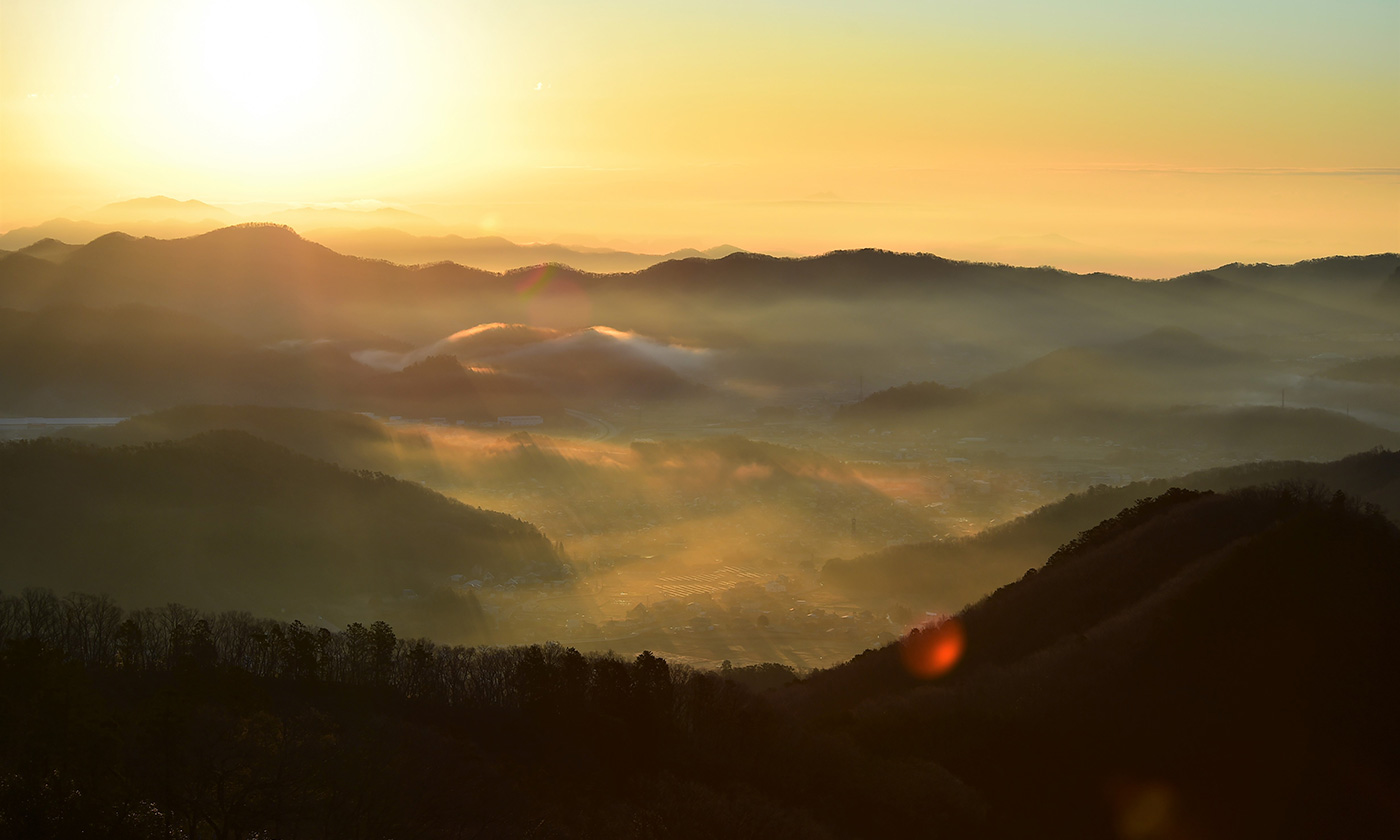
Slideshow of sunrise, the morning sun and Mt. Fuji, the morning sun and Mt. Oiwa
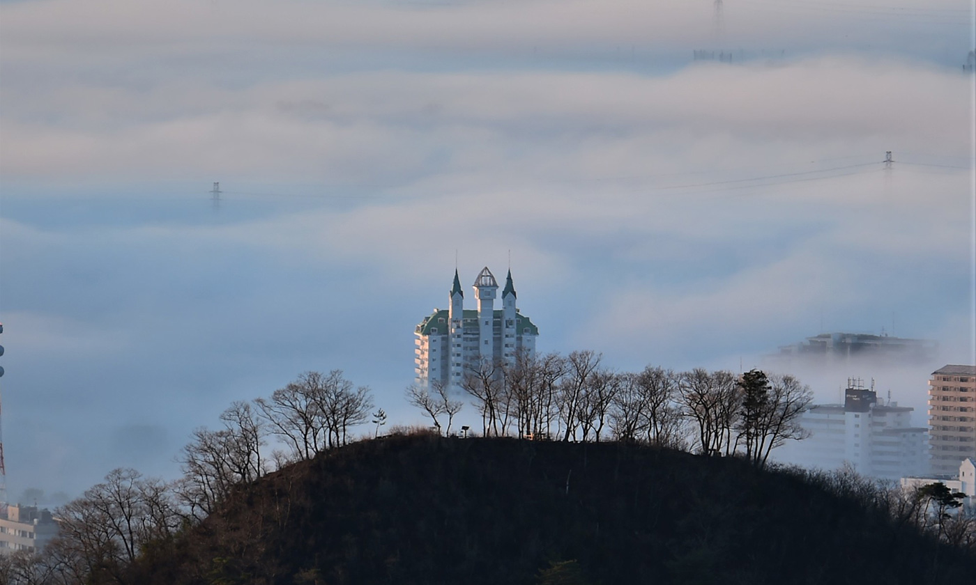
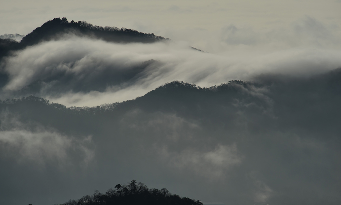
Sea of clouds over the Kanto Plain seen from Mt. Oiwa
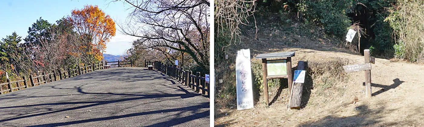
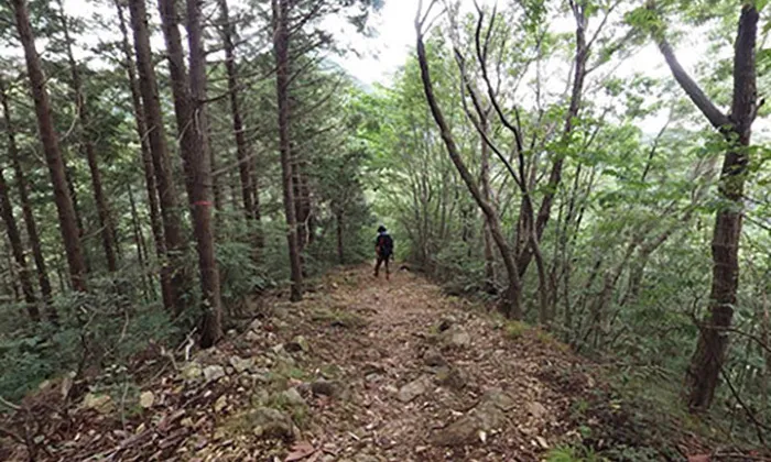
Hiking Trails on Mt. Oiwa
VR tour of Mt. Oiwa:VR tour of all-sky panoramic photos in the air and on the ground
- Click on the image above to see the scenery starting from the sky above Mt. Oiwa.
- Clicking on the link displayed above the spherical panoramic photo will take you to spherical panoramic photos of the sky and the ground of the mountain path of Mt. Oiwa, the precinct of Saishoji-temple and Oiwasan-Bishamonten , and tourist spots scattered around Ashikaga City.
- By operating the buttons located at the top of the screen, you can rotate left/right/up/down, enlarge/reduce the screen, switch VR mode, display full screen, etc.
- VR mode provides a three-dimensional experience when viewed with VR goggles.
- The map display at the top left of the screen can be enlarged or reduced, and the map can be switched, allowing you to check the registered spherical panoramic photo location, viewing direction, and visible range.
Topography of Mt. Oiwa
Mt. Oiwa is a sacred mountain located at the northern tip of the Kanto Plain, north of the center of Ashikaga City, Tochigi Prefecture.
Gyoki Bodhisattva, the founder of the temple, wishing to save the Kanto region through Buddhism, founded Tamonin Saishoji Temple on Mount Oiwa, which commands a panoramic view of the Kanto Plain, and enshrined a statue of Bishamonten (the god of war) created by Prince Shotoku.